 CAFF - Arctic Biodiversity Data Service (ABDS)
Keyword
Water
Type of resources
Available actions
Topics
Keywords
Contact for the resource
Provided by
Representation types
Update frequencies
status
From
1
-
2
/
2
-
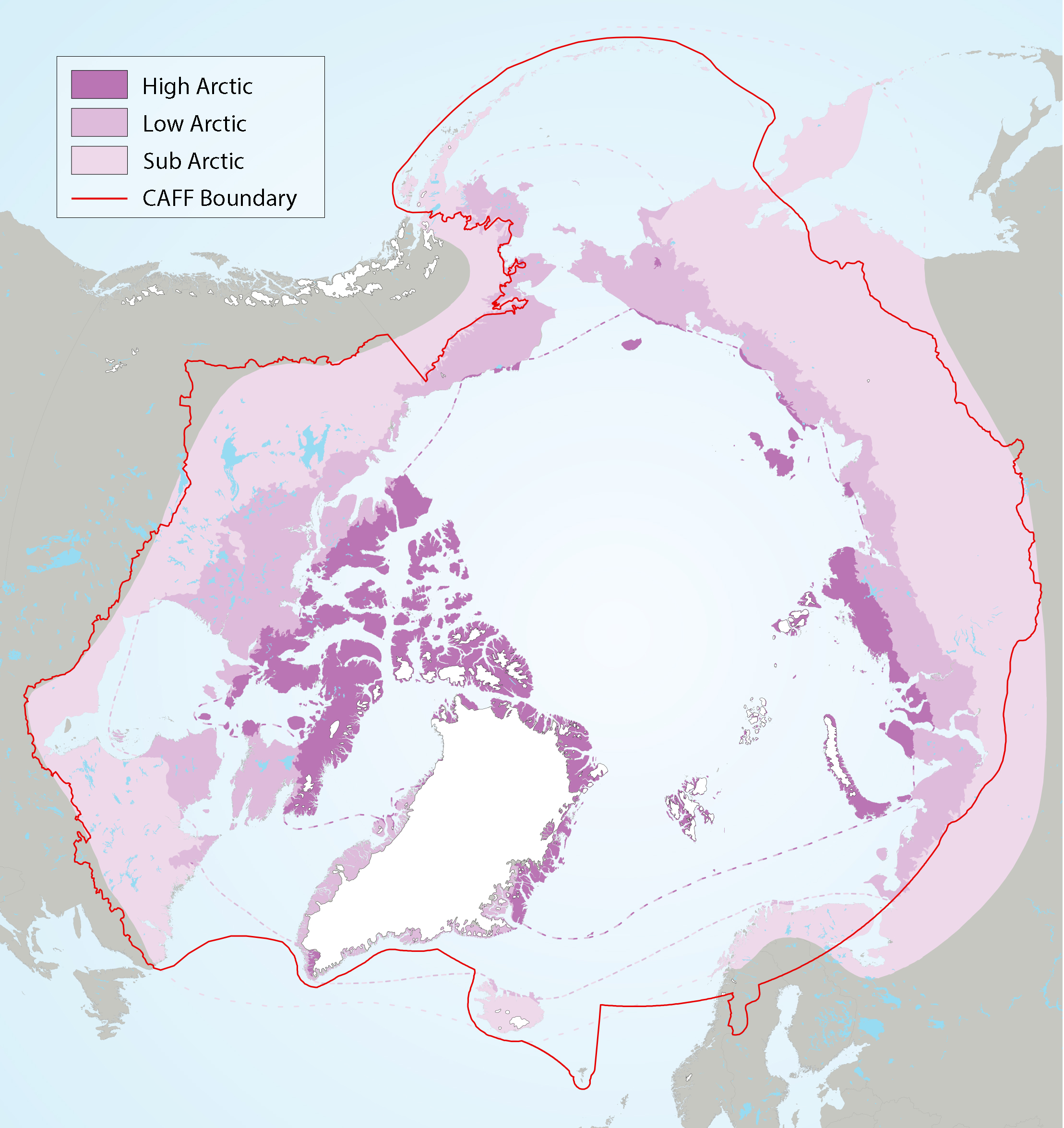
Figure 2-2 Arctic freshwater boundaries from the Arctic Council’s Arctic Biodiversity Assessment developed by CAFF, showing the three sub-regions of the Arctic, namely the high (dark purple), low (purple) and sub-Arctic (light purple)
-
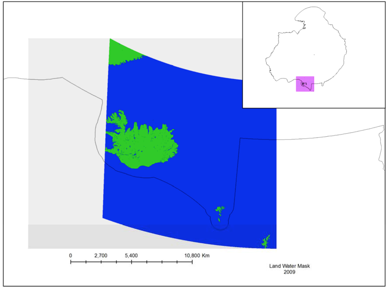
The MODIS Land Water Mask is created from MODIS 250 m imagery incombination with Shuttle Radar Topography Mission (SRTM) Water Body Data (SWBD) tocreate a global map of surface water at 250 m spatial resolution. Currently, only one mapexists, created in 2009 by Carroll et al. (2009). Because only one MODIS-based map exists,an analysis of surface water change is not possible at this time.