 CAFF - Arctic Biodiversity Data Service (ABDS)
Iceland
Type of resources
Available actions
Topics
Keywords
Contact for the resource
Provided by
Representation types
Update frequencies
status
-
The Land Cover Dynamics MODIS product is a yearly product that represents thetiming of vegetation phenology globally. Sub-datasets include vegetation growth, maturity,senescence, and dormancy. This product also includes the NBAR-(Nadir Bidirectionalreflectance distribution function (BRDF) adjusted Reflectance) based EVI, in part becausethe EVI is used to create the Land Cover Dynamics. The Land Cover Dynamics product uses both Terra and Aqua MODIS data. Version005 (provided) has a 500 m spatial resolution, which is an improvement from the 1,000 mversion 004 product. This product is only available in MODIS tiles, so the tiles needed tocover the CAFF pan-Arctic region has been downloaded but not clipped to the pan-Arcticextent at this time.
-
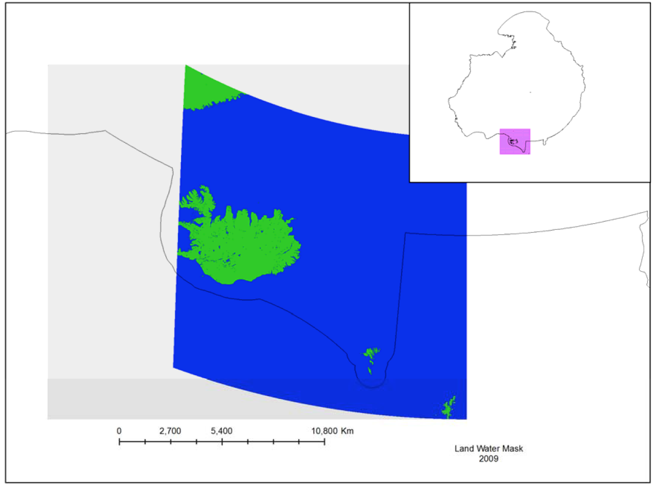
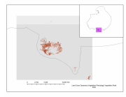
The MODIS Land Water Mask is created from MODIS 250 m imagery incombination with Shuttle Radar Topography Mission (SRTM) Water Body Data (SWBD) tocreate a global map of surface water at 250 m spatial resolution. Currently, only one mapexists, created in 2009 by Carroll et al. (2009). Because only one MODIS-based map exists,an analysis of surface water change is not possible at this time.
-
The baseline survey and ongoing monitoring required to adequately describe Arctic arthropod biodiversity and to identify trends is largely lacking. Although some existing publications reporting long-term and extensive sampling exist, they are limited in species level information, taxonomic coverage and/or geographic location/extent (Figure 3-19) STATE OF THE ARCTIC TERRESTRIAL BIODIVERSITY REPORT - Chapter 3 - Page 44 - Figure 3.19